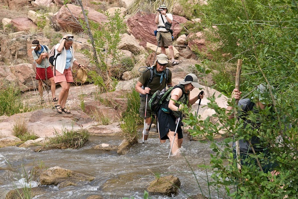
 Access to the upper Verde River between Paulden and Clarkdale is challenging but there are relatively easy public access points for vehicles within the Upper Verde River Wildlife Area, at Perkinsville Bridge, and near the Tuzigoot Bridge in Clarkdale.
There are a dozen trailheads on the canyon rim where you can hike down to the river. To access a trailhead near the river, a high-clearance vehicle is required to negotiate rough two-track forest roads. You will encounter gates to control cattle, but because this area is public land you have legal access. Please leave the gate open if you find it open, closed if you find it closed, and close it if a sign requests closure.
Current Prescott National Forest (PNF) and Arizona Game and Fish policy prohibits vehicular access to the riparian corridor. Also, PNF policy restricts vehicles to roads signed and designated on the Motor Vehicle Use Map that is available at the District Ranger offices. You should also obtain a map of PNF.
Please practice “Leave No Trace” rules: pack out all your trash and pick up trash that others have left behind.
You can download directions to access the upper Verde River using the link below. The directions are excerpted from the “Citizens’ Proposal for a Upper Verde Wild and Scenic River,” updated in December 2016 to reflect current conditions. Locator points are labeled on maps M3a–d. All access roads, trails, and descriptions are based on field verification.
Download maps (zip file)
